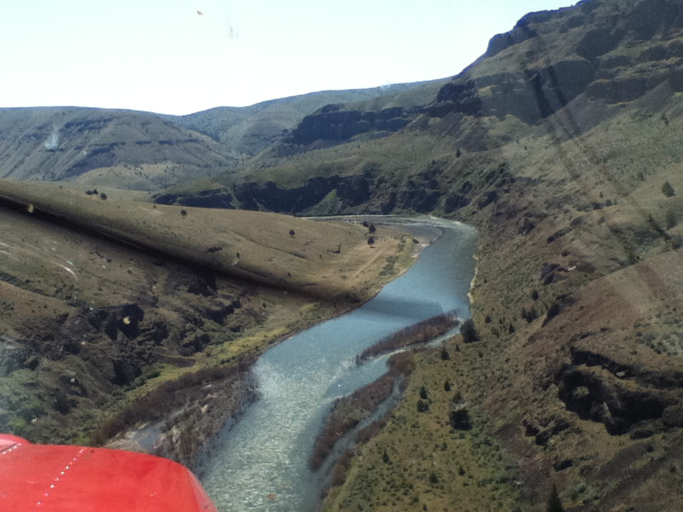
CHUKAR FLATS AIRSTRIP IN OREGON CLOSED
Chukar Flats Update
A ‘Closed’ sign went in at the airstrip in Eastern Oregon along the John Day River named Chukar Flats, alerting the local pilots to a policy shift by the BLM.

The RAF contacted the BLM’s Prineville Field Office and found a mixed reception for the idea of airplane access, however it was indicated that they would consider the pilots point of view. Through research at the local county seat land ownership was determined to be part private and part BLM. The strip has been there since 1964, is 1400 feet long with about 1000 feet on private property. The BLM has since created both a Wild and Scenic River corridor and a Wilderness Study Area (WSA) around it. The private owner is willing to allow continued use to local pilots, but this could change through too much of an increase in traffic, or a BLM action. RAF is reviewing the situation about getting the BLM to adjust their boundary to reopen the remainder of the strip, but at this time the upriver one-third of the strip remains closed. RAF advises that pilots limit their visits for a time until some of these initiatives can be pursued. We’ll keep you posted.
Submitted on April 5, 2005.
