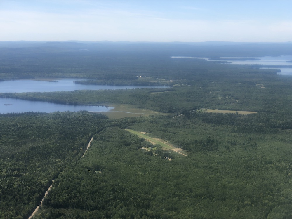
ALASKA, NOT MAINE, IS EASTERNMOST US POINT

An astute reader wrote to clarify our story on Maine’s Cowboy’s Air Ranch Airport. An Alaskan, James A. Canitz pointed out that the 0 degree longitude line runs through Alaska’s Aleutian Chain, actually the most eastern part of the US, which would receive the first sunlight to hit our nation.
Although our original text was accurate, we have modified our report to read: Cowboy’s Air Ranch Airport is in Washington County, called ”Sunrise County,” because as the easternmost point in the contiguous United States, the sun first rises here on the “Lower 48.”
We appreciate astute readers like Mr. Canitz!
Submitted September 2, 2020

Alaska has the eastern-, northern-, and western-most points within the 50 states. Minnesota has the northern-most point in the lower 48, even though on a map it looks like it should be Maine. So, who knows the lowest elevation MSL paved runway airport in the USA? Hint: it’s in a valley. Highest? Hint: it’s “heavy.”
Lowest:
Furnace Creek, CA (L06) -210MSL
Dimensions: 3065 x 70 ft. / 934 x 21 m
Surface: asphalt, in good condition
Highest:
LXV
9933.5 ft.
Dimensions: 6400 x 75 ft. / 1951 x 23 m
Surface: asphalt, in good condition
Furnace Creek in Death Valley is paved. It lies at 210 feet below sea level. Pattern altitude is weird!
Actually Attu, the Western most point in the United States is at 172 Degrees East longitude. However because the International Date line takes a bend around it, Attu see’s UTC plus 11 , it sees the last light of the day(According to the clock) as part of Alaska. The Prime Meridian is 0 degree’s passing through Greenwich and 180 degrees passing just East of Semisopochnoi Island in the Aleutian’s.
Not trying to be a keyboard warrior!