By Carmine Mowbray
•
July 29, 2026
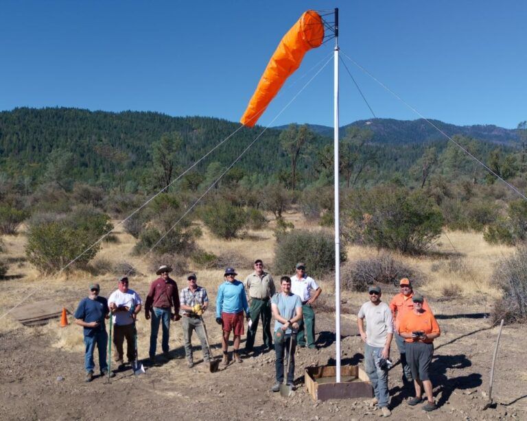
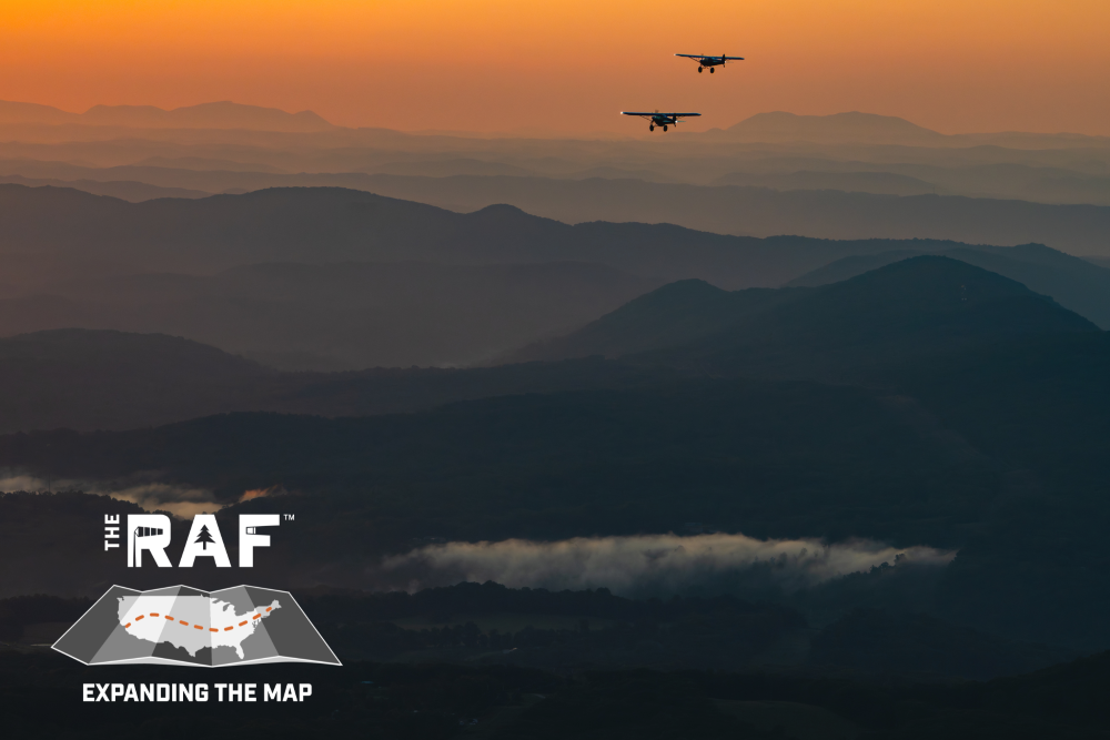
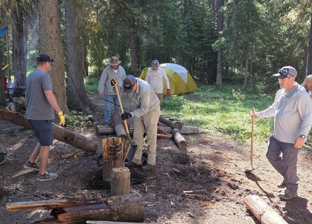
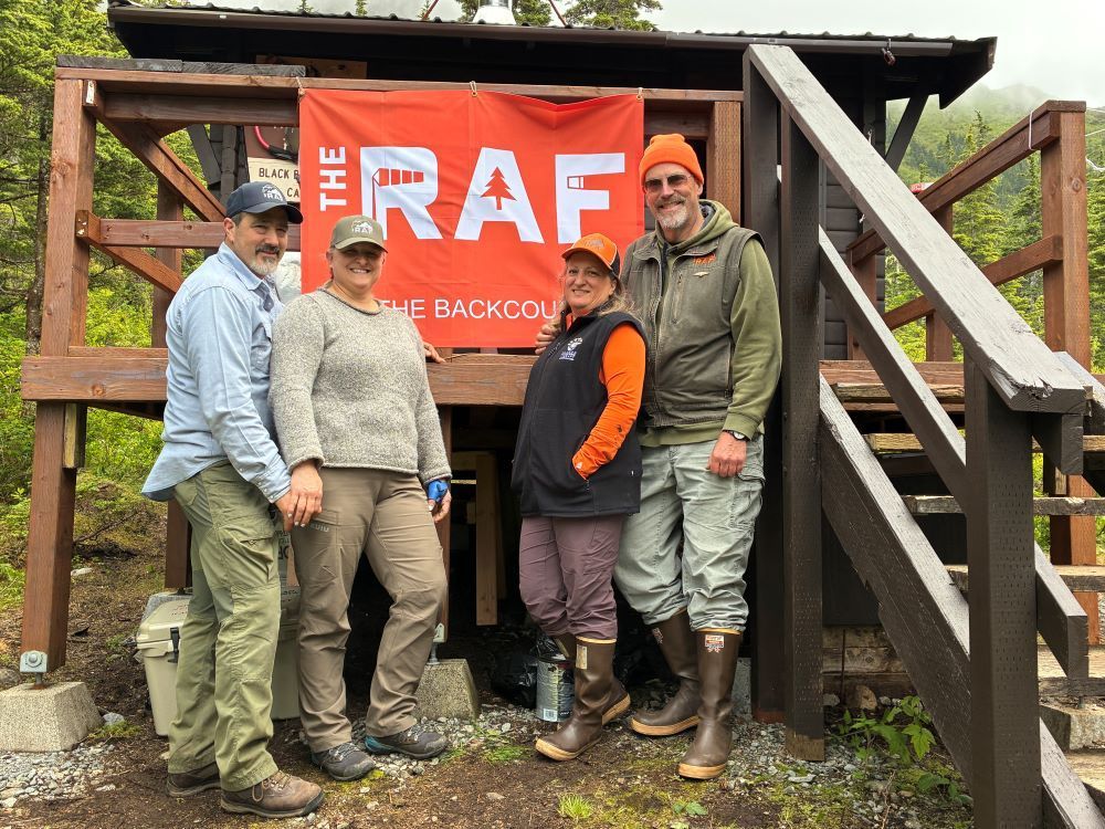
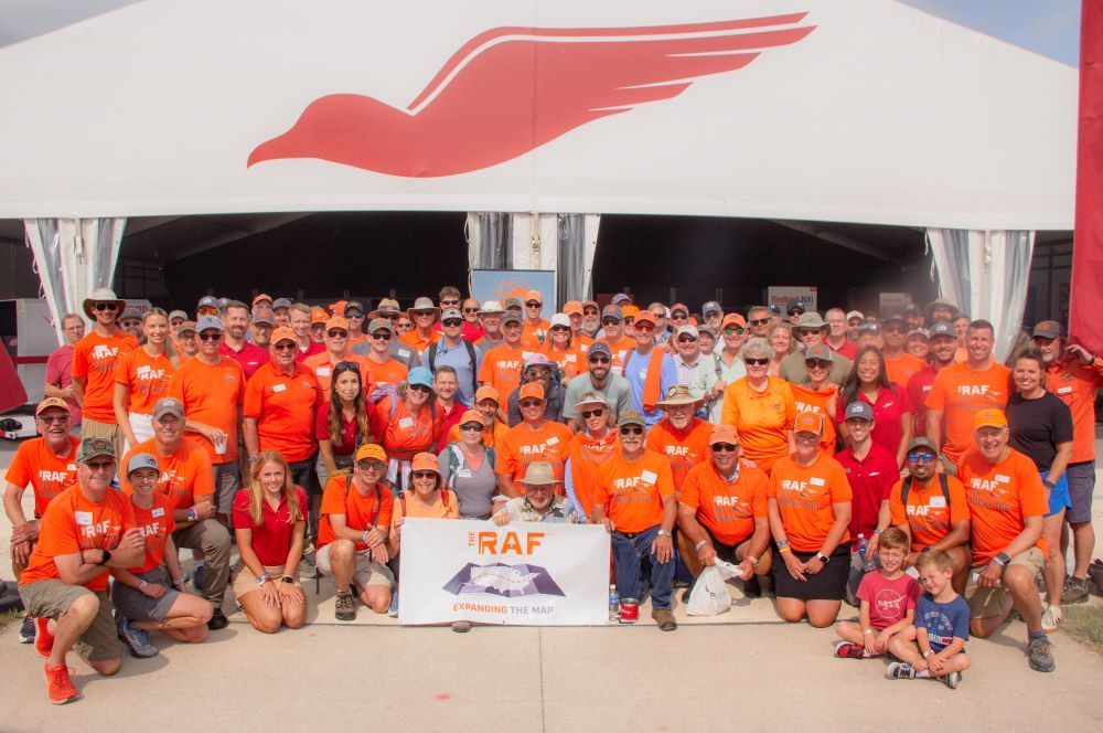
The new Fly Rocky Top airstrip network, developed by the Recreational Aviation Foundation (RAF), is now open to backcountry aviation enthusiasts. Located in East Tennessee, Fly Rocky Top is a "basecamp and outpost" concept for regional aviation exploration, adding the Southeast to a growing collection of well-recognized recreational airstrip networks across the country, including Fly Oz in Arkansas and others in the West and Southwest. Fly Rocky Top is the most significant achievement to date of the RAF's Expanding the Map initiative, a nationwide effort focused on opening, improving, and restoring access to airstrips, helping connect aviators to more of the places they love to explore. Named and inspired by local culture, each Fly Rocky Top airstrip has unique features, amenities, and recreational options that embody the mission and spirit of the RAF. The new network is in the heart of a region nationally recognized for its unique topography that includes the Obed Wild and Scenic River, Big South Fork National Recreation Area, Cumberland Plateau, and Great Smoky Mountains… altogether a landscape uniquely suited to backcountry aviation. Rockwood Municipal Airport, RKW, anchors the network with its 2,400-ft manicured turf landing area and is designed with backcountry flyers in mind. Rockwood Aviation, which operates RKW, offers products and services for pilots to engage in tailwheel, backcountry, and recreational flying, including training, service, and support. City of Rockwood Mayor Jason Jolly highlighted the significance of Rockwood Airport to the community and East Tennessee. Mayor Jolly said, "We are a national recreation destination and the progress at Rockwood Airport and the surrounding network of airstrips is just the latest step in our region's growth and development for adventurers and enthusiasts." The Fly Rocky Top network is unique in that the initial collection of airstrips – with more planned – are a combination of both public lands and privately owned property with the common desire to welcome the flying public. Specific new airstrips in the Fly Rocky Top network include Smuggler's Landing, a grass landing area at RKW (with tent camping and a welcoming pavilion planned), McGraw's Backyard (5TN4), Robbin's Farm, and Tellico Plains (85TN). An additional outpost, Sawbriar, will be ready in August 2026. More airstrips are in the process of being added and will appear on the Fly Rocky Top webpage . Plans continue to add amenities to each RAF Fly Rocky Top airstrip, including accessible flush toilets and timber-framed shelters where camping is available. Other attractions include access to world-class upland bird hunting, hiking, some of the nation’s best trout fishing, kayaking/canoeing on the Clinch and Tennessee Rivers, and a 44-mile Water Trail on Beaver Creek. Select airstrips have access to meals and accommodations. RAF Co-founder and Chairman John McKenna highlighted what makes this opening so important. “Fly Rocky Top is not just a new airstrip network; it’s also a group of pilots who are passionate about aviation, stewardship, and the great outdoors,” he said. “Fly Rocky Top will connect Southeast pilots, landowners, and outdoor enthusiasts alike with the shared mission to preserve access to the region's wild beauty and outdoor recreational opportunities.”