October 14, 2026
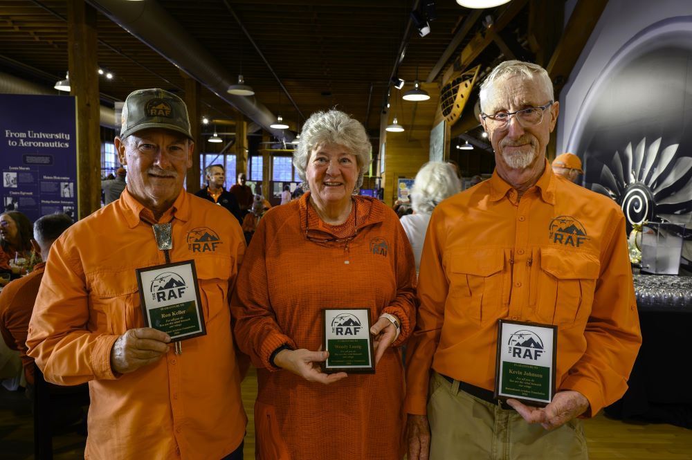
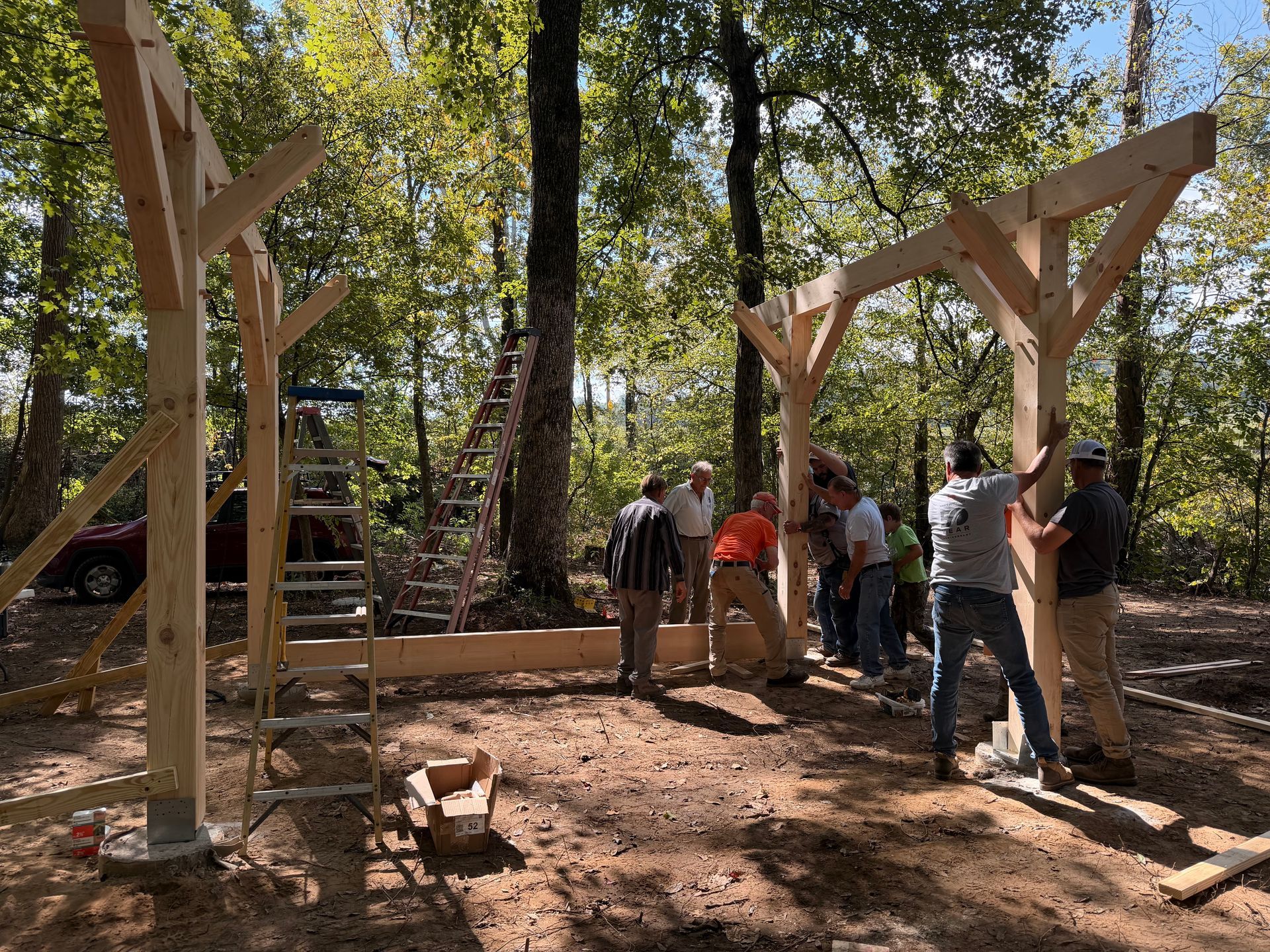
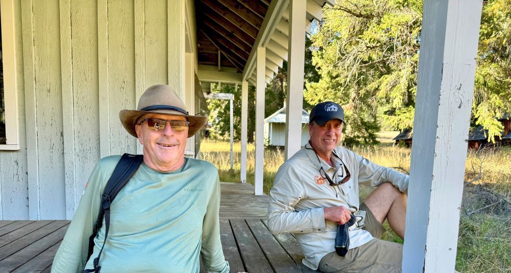
Three outstanding RAF volunteers were honored at the 2026 RAF Educational Conference in Seattle recently. RAF Volunteer Coordinator Erin White said, “It was incredibly difficult to choose this year’s winner. The HQ team and I finally narrowed down the candidates to three, and we simply couldn’t pick only one. I am very proud to announce that there are three 2026 award winners.” Wendy Lessig of Utah, Ron Keller of New Mexico, and Kevin Johnson of Oregon were each awarded the “Wind Beneath Our Wings” plaque that recognizes extraordinary efforts to further the RAF mission. This award was created and sponsored by RAF co-founders Dan and Margie Prill, and Chuck and Penny Jarecki. Each name has also been engraved on a permanent plaque displayed in the RAF's Bozeman, MT office. The recognition includes a $500 cash award, also generously provided by the Jareckis and Prills. Wendy Lessig became Utah Liaison in 2019 and set a high bar for the task. A former director of Utah Back Country Pilots, she coordinated their mission to preserve and ethically access Utah’s backcountry airstrips with the RAF’s national recognition to boost awareness of her projects. Wendy has spent countless hours working to open multiple airstrips as part of the RAF’s Expanding the Map initiative. She works closely with the Bureau of Land Management and has become well-versed in public land management policy. She navigates the steps required to ensure access on federal lands, including using RAF grants and procuring other funding to pay for cultural surveys. Her diligence has paid off with successes that include the reopening of Taylor Flat and Keg Knoll airstrips. She engaged with Utah DOT Aeronautics and UBCP to install weather stations at strategically important locations for aviation. Wendy has flown her PA-12 all over the US, often to help at work parties. Ron Keller had been advocating for recreational aviation in New Mexico well before 2016 when he became RAF Liaison. Keller helped start the New Mexico Airstrip Network in 2014. He excels at working on projects in partnership with the Forest Service, New Mexico Pilots Association, and New Mexico Airstrip Network; with the goal to preserve valuable recreational destinations — places in the high desert where you could land your own aircraft, pitch your tent with panoramic views of ponderosa, piñon pine, and Rocky Mountain juniper. As RAF Liaison, he received permission from the USFS to rehabilitate Sacaton airstrip that had been dormant for over 40 years. Several work parties later, these dedicated volunteers saw Sacaton registered and ready for public access. Beyond reopening airstrips, Keller organizes volunteers, and has many camping amenities to show for their efforts, like picnic tables, vault toilets, and shade structures, most welcoming to campers and hikers. Of course Ron loves flying to all these places, but he also says, “I enjoy mowing all six USFS-managed airstrips on the Gila National Forest.” Choosing to haul a mower for hours each way on dirt roads certainly helped qualify Ron for this award. Upon receiving the award, Ron immediately credited it to the many volunteers who assist his efforts in NM. Kevin Johnson lives in Oregon where he bases his C172, but he’s often on the go. Kevin is an RAF Ambassador and has provided his design and carpentry skills on RAF projects from the Pacific Northwest to Montana, quietly and steadily getting an incredible amount of work done. He also builds and installs airfield kiosks of his own design. When he learned of the drive-in-only work call at California’s Walker Ridge airfield in California, he drove nine hours each way to help out, towing a windsock pole that he’d built to the site. His range was recently expanded to include east Tennessee, where he joined the initial work party on the “Fly Rocky Top” project to construct a pilot pavilion over the weekend at Higdon Field, one of the seven outpost airfields planned as part of the RAF Expanding the Map project. During the award ceremony, the crowd gave each a standing ovation, and White added, “Volunteers from California to Maine and everywhere in between are doing incredible work every day preserving special places to fly.” The RAF is thankful for each and every person who volunteers their time and talent towards the mission of preserving, improving, and creating airfields for recreational access. Submitted October 14, 2026